Lola1695 - Sem Título

More Posts from Lola1695 and Others
My Favourite Curiosity Pictures from the Past Decade

The Mars Science Laboratory (MSL) aka Curiosity (above) landed on Mars at 10 (earth) years ago at the exact time of posting - 5:17 UTC on August 6th, 2012. Even before its landing I've been starry eyed over the mission, and the for almost three years I've been lucky enough to get to do science operations with the rover*. In honour of a decade of roving Gale Crater, here are some of my favourite pictures. (This will be a long post.)
*Standard disclaimer that nothing in this post or on this blog for that matter is at all associated with NASA or the CSA - opinions all my own!

I would be remiss to not start out with clouds - I LOVE this image - if you've ever seen me do a talk about Mars you've probably seen this picture. During the early part of the Mars year, clouds form in the twilight which are really high in the atmosphere and so can be illuminated even after the sun has gone below the horizon. These are called noctolucent clouds, and we also get them on earth! I also love this picture because it combines the two science teams - the environmental team and the geo team.

This is a panorama from Curiosity's landing site (Bradbury landing) and shows a fairly distant-looking Mount Sharp - the central peak of Gale Crater. It took MSL nearly two 9earth) years to reach the mountain, and since then we've been climbing it, travelling through the timeline of Gale as we move from older to younger sediments.

I love a blue sunset picture. This one is from fairly early on in the mission - less than 1000 sols (martian days) in (for reference - we're on sol 3554 now). The sunsets on Mars appear blue because of the scattering properties of dust in the atmosphere. Blue light is more effectively scattered forwards from the sun, but as the sun sinks and we look through more atmosphere, the blue light can spread out a bit.

This set of images was taken during the global dust storm of 2018 (Mars year 35), the one that spelled the end of Opportunity. Luckily, Curiosity uses nuclear power, not solar, and was able to weather the storm. It's so cool to watch the crater rim in the distance disappear, and the closer ground as well. The rover got well and truly socked in.

The final image I'm going to share is this delicate little "flower". When I first saw the MAHLI image (MAHLI = Mars Hand Lens Imager) I gasped out loud. I love cool looking rocks! This one is only a few centimetres tall but I love how much it really does look like a bit of coral or a flower (it isn't - Curiosity hasn't found plants on Mars).


– Grey’s Anatomy (3x10).


The Braided Paraná
An astronaut onboard the International Space Station (ISS) snapped this photograph of a portion of the Paraná River, the second longest river in South America. It flows mostly northeast to southwest for approximately 4,880 kilometers (3,030 miles), passing through Brazil, Paraguay, and Argentina and making part of the Argentina–Paraguay border.
This image captures some of the interlocking, braided patterns that are common along the Paraná River system. Sediment that eroded upstream from riverbanks in Brazil was carried downriver and deposited and piled up into islands—such as Isla Apipé (Argentina). The sediments also make braid bars, which are smaller, rhomboid-shaped landforms created by the interweaving of water and land as the river level rises and falls over time.
This labyrinth of braided channels also provides routes for small boats and ships, allowing for the transport of goods to inland South America—at least as far upstream as the Yacyretá Dam. Built to generate hydroelectric power, the dam now separates the upper Paraná River from the braid bars.
Farmers cultivate crops such as coffee, corn, and cotton in fields adjacent to the Paraná River floodplain. These crops, among others, have been affected by ongoing drought conditions that began in the region in 2020 and have slowed the transport of goods decrease in water levels.
Astronaut photograph ISS065-E-163199 was acquired on July 9, 2021, with a Nikon D5 digital camera using a focal length of 200 millimeters. It is provided by the ISS Crew Earth Observations Facility and the Earth Science and Remote Sensing Unit, Johnson Space Center. The image was taken by a member of the Expedition 65 crew. The image has been cropped and enhanced to improve contrast, and lens artifacts have been removed. The International Space Station Program supports the laboratory as part of the ISS National Lab to help astronauts take pictures of Earth that will be of the greatest value to scientists and the public, and to make those images freely available on the Internet. Additional images taken by astronauts and cosmonauts can be viewed at the NASA/JSC Gateway to Astronaut Photography of Earth. Caption by Amber Turner, Jacobs, JETS Contract at NASA-JSC.

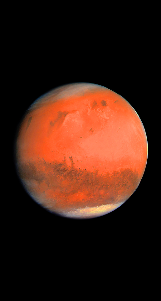
Carl Sagan 🌌
O pálido ponto azul 🌍


My dad Russell Kightley’s illustration of an animal cell (which includes humans too) has recently gone viral on the internet. I’ve always been very proud of his work. I used to take in big laminated posters (biocam.com) of his scientific illustrations into class to showcase the intricacies of various cells, including plant and animal, as well as different viruses, organisms etc. He also drew a Coronavirus life cycle in 2003 when SARS broke out; many people don’t realise but SARS was also Coronavirus, ‘Corona’ is Latin for ‘crown’ and refers to the crown like spikes around a particular virus.
From start; Animal cell, plant cell, coronavirus lifecycle, parameciums, amoeba.


please like or reblog if you save it! 🛸

-
 iobartach liked this · 1 month ago
 -
 simbilmyne liked this · 1 month ago
 -
 therapardalis liked this · 1 month ago
 -
 thephoenixnomore liked this · 1 month ago
 -
 polterxgheist liked this · 1 month ago
 -
 queeniehostapasta liked this · 1 month ago
 -
 pinklocksoflove liked this · 1 month ago
 -
 gazelessmenagerie reblogged this · 1 month ago
 -
 666fox777 liked this · 3 months ago
 -
 kangaroo-knight liked this · 5 months ago
 -
 arcanalockheart liked this · 6 months ago
 -
 nahintrudaplushie liked this · 7 months ago
 -
 minecraftcreepercat liked this · 7 months ago
 -
 keenstar-gawain liked this · 9 months ago
 -
 anarchistzim liked this · 10 months ago
 -
 dogb1scuit liked this · 10 months ago
 -
 carcharhinus-hemiodon reblogged this · 10 months ago
 -
 carmex2659 liked this · 10 months ago
 -
 shark-shark-shark-shark-shar reblogged this · 11 months ago
 -
 jaxallope liked this · 11 months ago
 -
 iamafishiamafish liked this · 11 months ago
 -
 phoebeelemon liked this · 1 year ago
 -
 sillygoofymelon liked this · 1 year ago
 -
 shutupiknowthings liked this · 1 year ago
 -
 xghost-of-reblogsx liked this · 1 year ago
 -
 itissanerdlol liked this · 1 year ago
 -
 little-fireflies-syskids reblogged this · 1 year ago
 -
 thegoblin-inthewoods liked this · 1 year ago
 -
 tired-gray liked this · 1 year ago
 -
 scriptin liked this · 1 year ago
 -
 sharkdays liked this · 1 year ago
 -
 sharksarefr1ends reblogged this · 1 year ago
 -
sharksarefr1ends liked this · 1 year ago
-
 electronicdreamerdreamer liked this · 1 year ago
 -
 aftercareandtoenailclippins liked this · 1 year ago
 -
 mossgreeneddie liked this · 1 year ago
 -
 transcendent-acedia liked this · 1 year ago
 -
 love-from-the-other-side reblogged this · 1 year ago
 -
love-from-the-other-side liked this · 1 year ago
-
 luvmarzx liked this · 1 year ago
 -
 nightingaleinberkleysquare liked this · 1 year ago
 -
 cryptid-on-a-string liked this · 1 year ago
 -
 foxfairylights liked this · 1 year ago
 -
 miu-muu liked this · 1 year ago
 -
 rm4im liked this · 1 year ago
